Here’s a fun way to help kids pass the time on road trips and learn their states at the same time. Print out free car maps and have them color in the states as they spot cars with those state license plates.
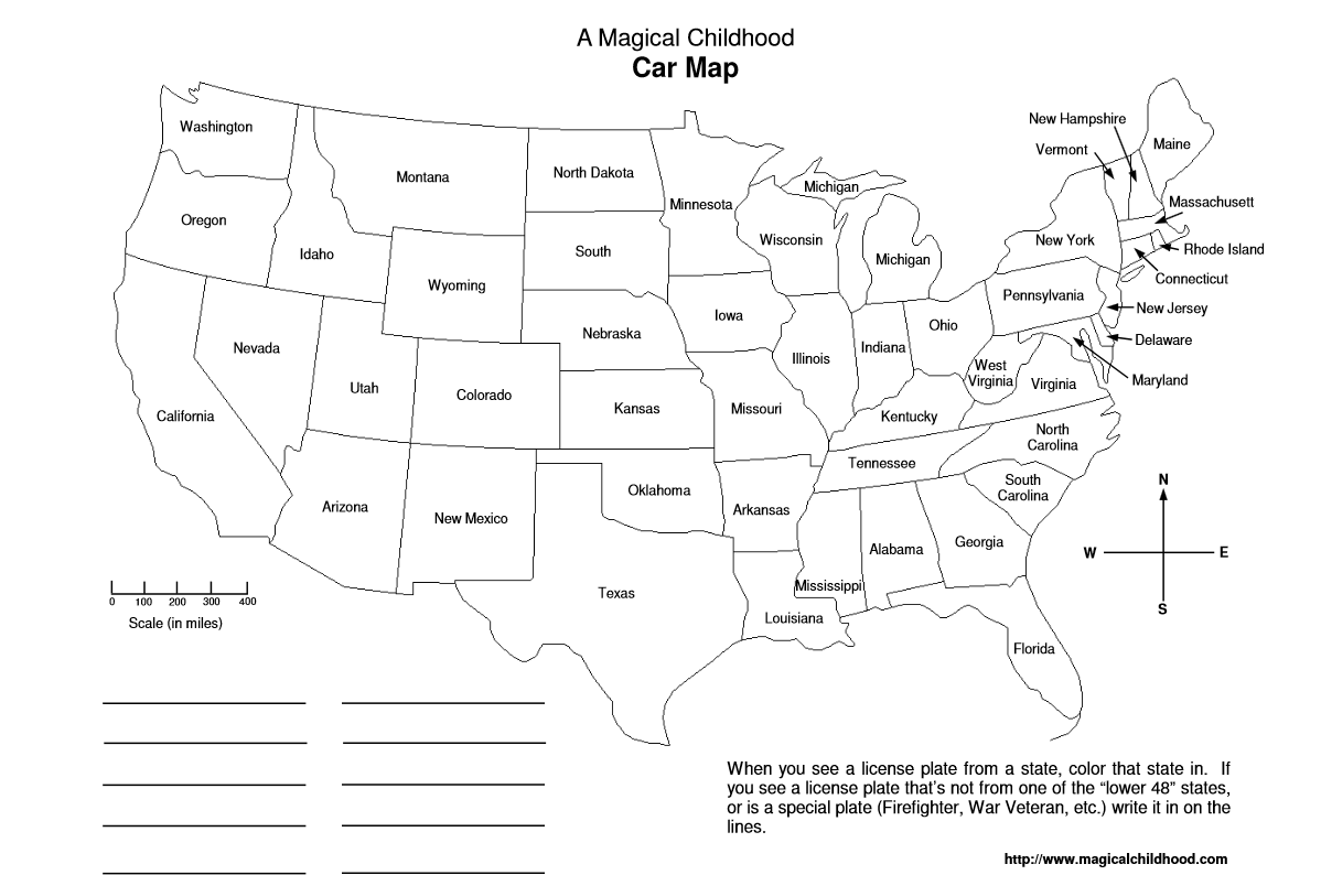
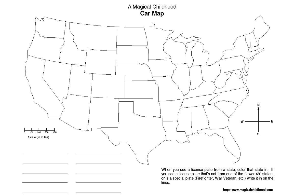
There are two versions of maps available — a labeled one to help younger children learn where the states are, and an unlabeled ones to challenge older kids.
The maps are offered free on A Magical Childhood (a non-profit site I’ve run for about 18 years now). My hubby made them up for our own kids many years ago to use on our own road trips. We posted them years ago, writing:
Looking for something fun and educational for your kids to do in the car? We’ve probably all played the “license plate” game with them to while away long trips, but why not use it to help them learn their geography? Here are two car maps (in .pdf format) for you to print out. They’re the outlines of the states in the lower 48. Carmap 1 has the states labeled: Carmap 2 doesn’t (if you want to really make it a challenge). All they have to do is color in the appropriate state when they see that license plate. For plates that aren’t listed, there are some blank lines to fill in. I hope this helps make the trips more enjoyable!
No family trips planned? You can also just keep the maps in the car and make it a fun summer challenge to get all of the states colored in by summer’s end!
Have fun!